Скидка 20%
Войдите в учётную запись, чтобы мы могли сообщить вам об ответе
Hesabınız yoxdur?
Создать учетную запись
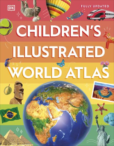
Discover the world map-by-map with this exciting world atlas book for children, featuring more than 50 maps! Each page is filled with fascinating information, facts and colourful illustrations of our world.
Children aged 9-12 will love to learn all about the many countries, cultures and people of the world through vibrant maps. Fascinating facts, local stories, vivid pictures, and clear, satellite-based maps together make this atlas a global yet personal experience for young readers.
This illustrated atlas book for children offers:
- Bite-sized information giving the profiles, facts, stats and flags of every country.
- Pictures and stories explaining the society, culture and history of each region.
- Maps created using satellite imagery providing a clear view of the world map-by-map.
- A variety of topics covered, including population density, wealth, and internet access shown through graphics.
From Bangkoks floating markets to the carnival in Venice, the Childrens Illustrated World Atlas brings together
Издательство
Dk
Количество страниц
144
Переплёт
Hardcover
Язык
ENG
Отзывы не найдены